
Àmbits temàtics
Àmbits temàtics
Projectes estratègics
Projectes estratègics

Eines i recursos
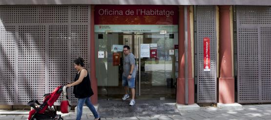
Urbanisme
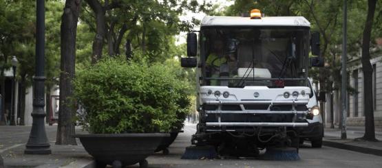
Obres
Prescripcions Tècniques de l'Espai Urbà
Principals projectes
Tramitació telemàtica de Llicències d'Obra
Tràmits i Cens d'Activitats
Tràmits de Llicències
Art Públic
Urbanisme amb perspectiva de gènere
Suspensió atorgament llicències llars compartides
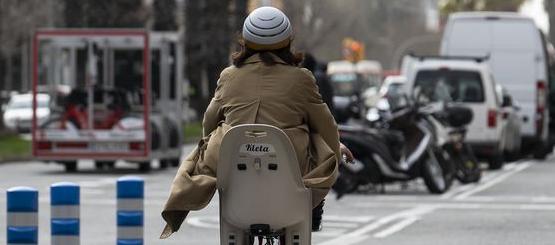
Mobilitat
Xarxa de carrils bici
Tramvia connectat
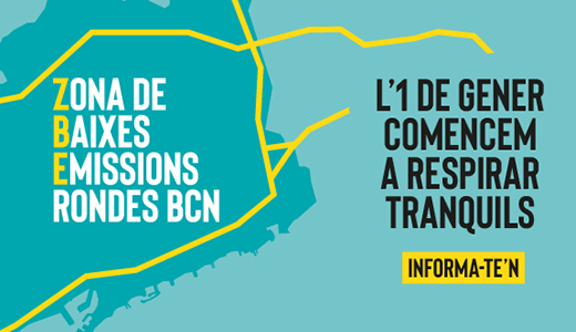
Consulta de restriccions de vehicles ZBE
Ecologia
Parcs i Jardins
Banys i platges
Cercador de l'arbrat viari
Tractaments fitosanitaris
Cercador de residus
Xarxa de Punts Verds
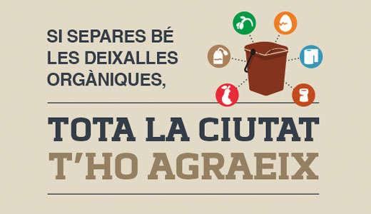
Recollida de residus domiciliaris
Recollida gratuïta de mobles i estris domèstics al carrer
Mapes de Dades Ambientals
Calculadora energètica
Atles de la Biodiversitat
Informe alteració nivells sonors COVID-19
Taxa de recollida de residus municipals generats en domicilis
Materials d'estudi jardineria